
LORAN
by: Jackson Huckaby

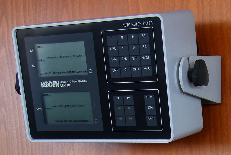
The Long Range Navigational (LORAN) system uses a series of transmitting
stations and a receiver to pinpoint the location of objects, most commonly ships at sea. In order for the system to function,
the ship will have a LORAN receiver on board, and will communicate with a minimum
of three transmitting stations located on land. The transmitting stations send out pulses at the speed of
light, and captures data about how long it takes the light to reach the LORAN receiver
on the ship. The stations then use this time to calculate the distance that the LORAN
receiver is from that transmitting station. Once the distance has been calculated for
the receiver and two transmitting stations, the distances are subtracted. Therefore, the
distance from one station to the receiver minus the distance from the other station to the
receiver is some constant value. If the ship is stationary, then this value will not change.
We can recognize this as the geometric definition of a hyperbola.
So the conclusion is that the ship will lie somewhere
along a hyperbola, with the two transmitting stations serving as the foci.
In order to determine where on that hyperbola the ship is, another transmitting
station must be used. Typically when using LORAN, there is one master station and two
secondary stations. One of the stations from the first hyperbola will be the master
station. Once the receiver communicates with the third station, the distance between the
receiver and the master station is subtracted from the distance from the receiver to the
third station. Again, this creates a constant value and creates a second hyperbola. This
second hyperbola has foci at the master station and the third station. The ship will lie
somewhere along this hyperbola as well. The location of the ship can be determined by
finding the intersection of these two hyperbolas.
This method works because of the geometric definition of a hyperbola, which is
that the distance from a point on the hyperbola to one focus minus the distance from that
point to the second focus is a constant. Since the ship and the transmitting stations are
not moving, the distances calculated will remain constant. Therefore, their differences
will remain constant. This creates a set of possible points that the ship could be on, and
we know that those points create a hyperbola. By creating the second hyperbola, we can compare all such
points, and the one point that satisfies both hyperbolas will be the location of our ship!
A Geometers Sketch Pad sketch can be found here.
Return to home.